23/12/2017 - Navigation on Lake Maggiore: Northern Italy's Lake District.
Lake Maggiore Map and useful info on how vistit Lake Maggiore and its Borromean Islands with your own bike during your cycling holiday.
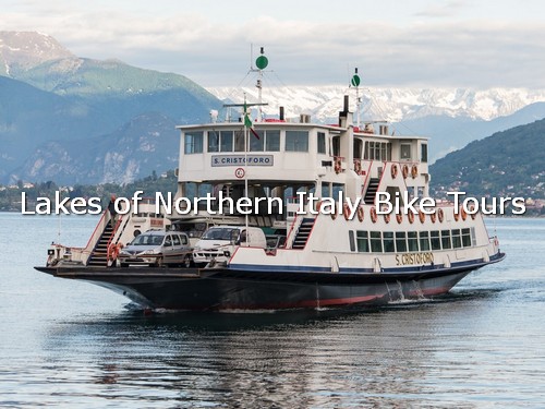
You can cross Lake Maggiore by motorship or by ferry-boat (see red line on the map).
Expecially in the spring/summer period are garanteed frequent connections by motorships among the villages and towns on the shore of Lake Maggiore.
The transport of vehicles is garanteed for crossing the lake by ferry-boat between the shores of Intra (West) and Laveno (East).
The ferry starts every 20 minutes. It takes 30 minutes.
Here's:
Lake Maggiore Map
Winter Timetable (PDF) from Locarno to Arona (North-South) up to 24th March 2018:
http://www.gpsvarese.it/download/locarno-arona.pdf
Winter Timetable (PDF) from Arona to Locarno (South-North) up to 24th March 2018:
http://www.gpsvarese.it/download/arona-locarno.pdf
Ferry-Boat Winter Timetable (PDF) from Laveno to Intra up to 24th March 2018:
http://www.gpsvarese.it/download/ferryboat-maggiore.pdf
We are going to update the timetables by 24th March 2018 .
Fares
Learn more at: Lake Maggiore Navigation website
The Lake Maggiore basin has tectonic-glacial origins. The lake has a surface area of about 212 square km (82 square mi), an altitude a.s.l. of 193 metres (633 ft), a maximum length of 64.37 km (40.00 mi) as the crow flies, maximum width 10 km (6.2 mi), maximum depth 372 m (1,220 ft), an average depth 177.4 m (582 ft), shore length 180 km (112 mi), water volume 37 square km (8.9 cu mi).